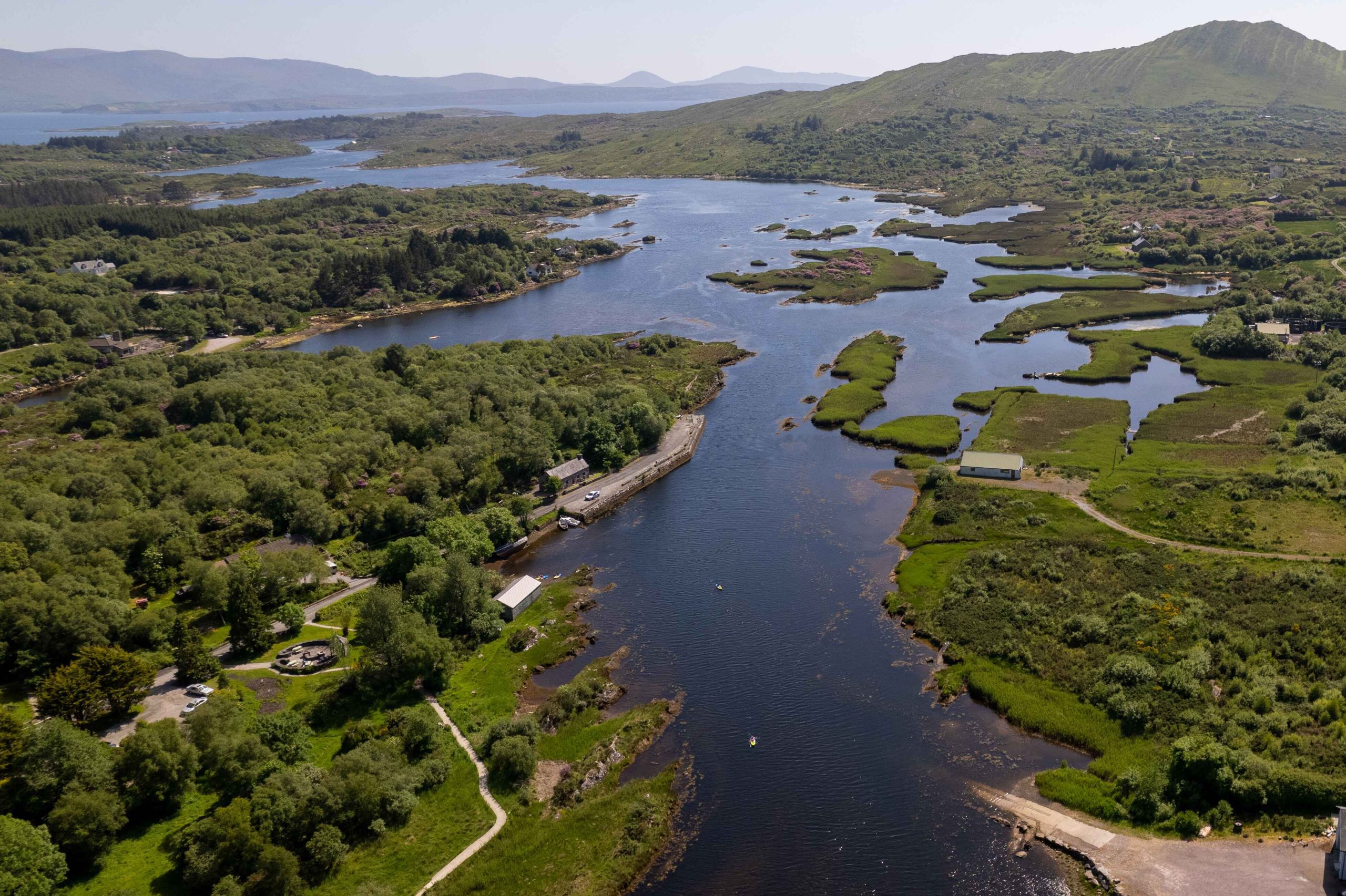
The community of Sneem is very connected to its local water bodies, with the Sneem River flowing from the catchments through the centre of the village out into Kenmare Bay. As a traditional community of farmers and fishermen, we have a strong appreciation of the importance of healthy natural waters. Our tourism industry is underpinned by the beauty of the surrounding mountains, rivers and the sea — with stunning views from Sneem Bridge, Sneem Quay and the Kerry Way.
← Visitor guide
Nature · River walks
Sneem River
From mountain catchments through the village to Kenmare Bay — wildflower meadows, native trees and a haven for salmon, otters, kingfishers and sea eagles.
Where the river meets the tides of Kenmare Bay, the currents twist into a knot-like swirl — one origin story for the village's Irish name, An tSnaidhm.
A Sneem TidyTowns project · Blue Dot waters
Over the years Sneem TidyTowns has developed river walks along both sides of the Sneem River, managed as long-flowering meadows with native birch, alder and willow. During summer you can spot the rare blue-eyed grass and orchids as well as purple loosestrife, knapweed, meadowsweet and many other native wildflowers which inhabit traditional meadows.
The Sneem River is a haven for wildlife — salmon, trout, the rare and endangered freshwater pearl mussel, otters, kingfishers, little egrets and, more recently, the white-tailed sea eagle.
In 2024, Sneem TidyTowns commissioned a River Safari and Water Management report, funded by LAWPRO (the Local Authority Waters Programme), to guide future efforts to protect and enhance our Blue Dot water bodies. The report describes the current status of the local water bodies and analyses pressures and risks to water quality — providing a road map for the community, from simple local measures like raingardens and rainwater harvesting to catchment-wide campaigns to protect riparian zones from agricultural and forestry impacts.
River Safari Report (2024)
Commissioned by Sneem TidyTowns, funded by LAWPRO.